Lake Annecy: why it is so clean, and what to do on it

The numbers
The lake is 14.6 km from Annecy at the northern end to Doussard at the southern, and about 3.2 km across at its widest. Surface area is 27.59 km², mean depth 41 m and maximum depth 82 m, holding around 1,124.5 million m³ of water at a surface elevation of 446.97 m. It is the third-largest lake wholly within France, after Lac du Bourget and Lac de Grand-Lieu, if you set aside the French portion of Lake Geneva.
Water comes in from the Ire, the Eau Morte, the Laudon, the Bornette and the Biolon, and — the detail that makes divers happy — from the Boubioz, an underwater spring rising at the deepest point of the lake, 82 m down. Water leaves by a single outflow, the Thiou, which runs 3.6 km through the middle of Annecy’s Old Town before joining the Fier, then the Rhône, and eventually the Mediterranean. The canals you photograph in the Old Town are the lake leaving.
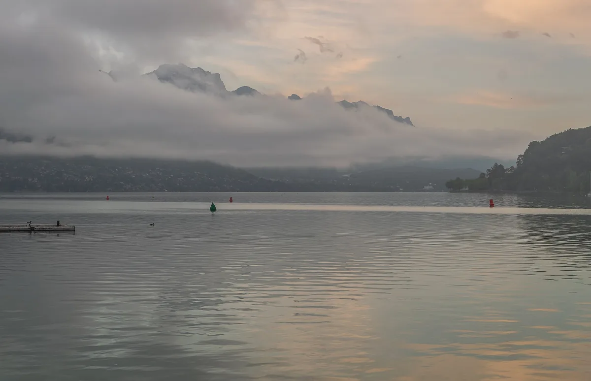
“Europe’s cleanest lake” — the real story
You will read everywhere that Lake Annecy is the cleanest lake in Europe. Treat that as a reputation rather than a measurement: it is what the lake is known for, not a ranking issued by any single authority. What is verifiable is far more impressive than the slogan, and almost nobody tells it.
In the late 1950s this lake was dying. It had gone eutrophic — nutrient-loaded from untreated wastewater, algae blooming, oxygen falling, wildlife disappearing. The lake that now sells the region was, within living memory, a serious environmental failure.
On 15 July 1957, SILA — the Syndicat Intercommunal du Lac d’Annecy — was created for the specific purpose of saving it. Between 1961 and 1976 its engineers built the collecteur ceinture: a belt of sewage collectors encircling the entire lake, intercepting wastewater from every lakeside commune and carrying it downstream to a treatment plant at Cran-Gevrier. Nothing goes into the lake. From 1966, scientific water-quality monitoring began, and it has run continuously ever since — sixty years of unbroken data.
The system today handles wastewater from about 230,000 residents through roughly 1,550 km of collectors and 13 treatment facilities, and more than EUR 400 million has been invested since 1957.
Drinking it
The lake supplies drinking water to more than 200,000 people — about 70% of Grand Annecy — and roughly 73% of the water the network produces comes from the lake, with the balance from springs and boreholes. Tap water in Annecy complies with French and EU standards, most recently confirmed by ARS analysis in January 2026, and is moderately hard at around 14.2 °f. Short answer: yes, drink it. Buying bottled water here is buying the same lake in plastic.
What to do on the water
Four things, roughly in order of how many people do them.
- Take a boat. The scheduled boats are run by the Compagnie des Bateaux and sold at the quay at 2 place aux Bois. Read that page before you book anything online — the fares are published there in full and the direct option is usually the better one.
- Swim. The town beaches at Albigny and Marquisats are free and supervised in season, and every village around the lake has its own.
- Ride the western shore. The Voie Verte follows the trackbed of the old Annecy–Albertville railway, which means it is flat, car-free and about 30 km long.
- Get above it. Either on foot to Mont Veyrier or Le Semnoz, or under a wing from the Col de la Forclaz, which handles up to 200 flights a day in high season.
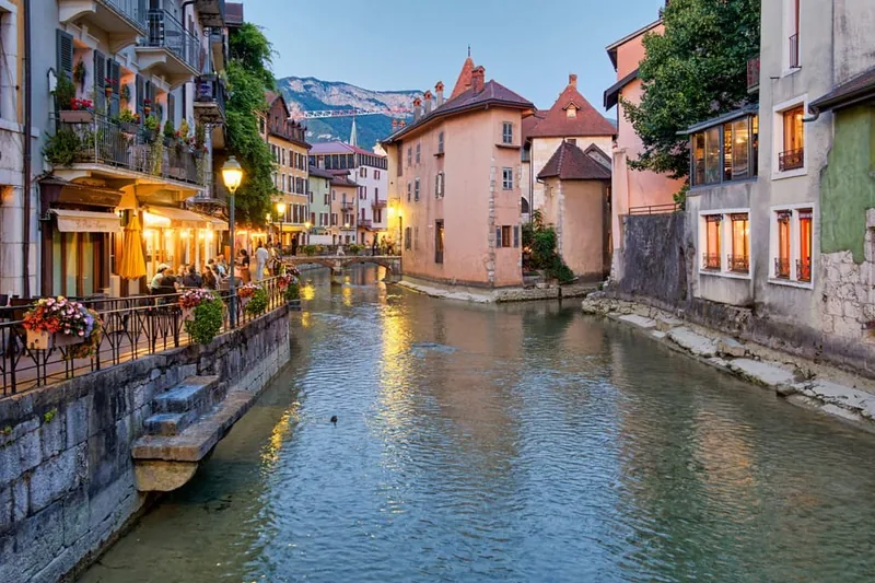 Walk and boat
Annecy: Old Town Guided Walking Tour & Scenic Lake Cruise
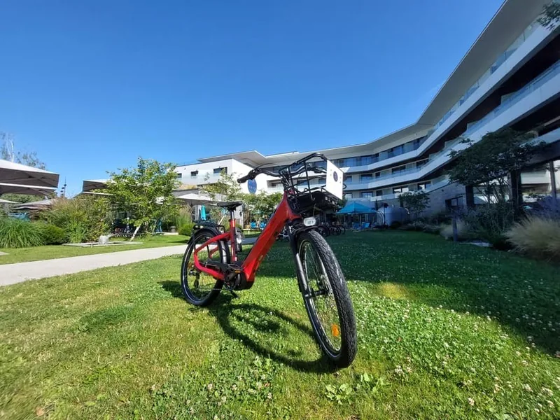 Rental
Annecy-le-Vieux: Electric and Classic Bike Rental
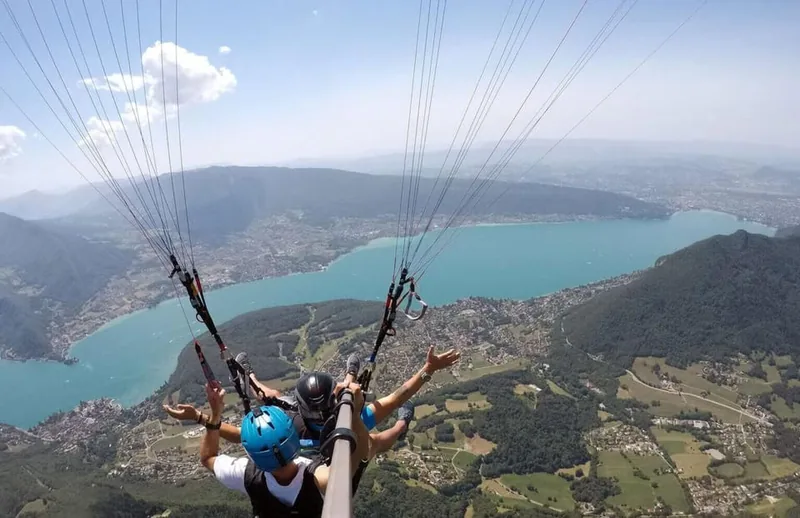 Lake launch
Annecy: Introductory Paragliding Flight over the Lake
The villages around it
Eight communes sit on the shoreline: Annecy, Veyrier-du-Lac, Menthon-Saint-Bernard, Talloires, Doussard, Duingt, Saint-Jorioz and Sévrier. They divide neatly. The western shore — Sévrier, Saint-Jorioz, Duingt — is flatter, sunnier in the afternoon, and carries the cycle path and the main road. The eastern shore — Veyrier, Menthon, Talloires — is steeper, quieter, and sits under the cliffs that make the paragliding work. Doussard, at the southern end, has the Roselière nature reserve where the Eau Morte comes in.
Straight-line distances from the middle of Annecy give you a sense of the scale: Sévrier is about 4 km, Menthon about 6.8 km, Talloires about 9.4 km, Duingt about 9.8 km and Doussard about 15.4 km. Those are crow-flies figures, not road distances — the shoreline road is always longer.
The lake is deep and alpine, which has one consequence people underestimate: it warms up late. Surface temperature reaches around 22 °C in July and August, but June can still be genuinely cold, and September is often better for swimming than June. If your trip is early in the season, plan on the water rather than in it.
More: the lake in numbers · boat trips and fares · swimming and beaches · the Voie Verte
Frequently asked questions
Is Lake Annecy really the cleanest lake in Europe?
It has that reputation and it is genuinely very clean, but there is no single European authority that issues such a ranking. What is verifiable is the engineering: a ring of sewage collectors was built around the whole lake between 1961 and 1976, continuous water monitoring has run since 1966, and over EUR 400 million has been invested since 1957.
How deep is Lake Annecy?
82 m at its deepest, with a mean depth of 41 m. The Boubioz, an underwater spring, rises at that deepest point. The lake holds around 1,124.5 million cubic metres of water.
How big is Lake Annecy?
27.59 square kilometres of surface, 14.6 km long and about 3.2 km at its widest, sitting at an elevation of roughly 447 m. It is the third-largest lake lying wholly within France.
How warm is Lake Annecy in summer?
Around 22 degrees Celsius at the surface in July and August. It is a deep alpine lake, so it warms slowly — June is often still cold and September is frequently better for swimming than early summer.
Where does the water in Lake Annecy go?
Out through a single outflow, the Thiou, which runs 3.6 km through the middle of Annecy's Old Town before joining the Fier, then the Rhone, and eventually the Mediterranean. The canals in the Old Town are the lake draining.