Annecy Old Town map

Tap any pin for the guide to that place. Dark pins: the Old Town itself. Blue: the water and the parks along it. Coral: the station and the nearest multi-storey car park.
How the town is laid out
Annecy makes sense once you see that it is built around a river leaving a lake. The Thiou runs out of the lake and straight through the centre; the Palais de l’Île sits in the middle of it like a stone ship, which is why every photograph of Annecy is taken from roughly the same two bridges. The arcaded streets follow the water on both sides.
South-west of the canals the ground rises to the château, about five minutes uphill. North-east of them the town opens onto the lake at the Jardins de l’Europe and then Le Pâquier, the long lakeside meadow where the festival holds its open-air screenings. The Pont des Amours joins the two.
Walking times
| From | To | On foot |
|---|---|---|
| Gare d’Annecy | Palais de l’Île | About 10 minutes |
| Palais de l’Île | Château d’Annecy | About 5 minutes, uphill |
| Palais de l’Île | Pont des Amours | About 7 minutes |
| Pont des Amours | Le Pâquier | About 3 minutes |
| Old Town | Basilique de la Visitation | About 25 minutes, a real climb |
The basilica is the one people underestimate, which is why it is in the table but not on the map above — it sits well outside the walkable core. It is a genuine uphill walk of around twenty-five minutes from the canals, and the view back over the town and lake is the reason to do it. Everything else here is flat.
Where you actually arrive
If you come by train, you walk out of the station and are ten minutes from the canals with no decisions to make. If you drive, you do not enter this map by car at all — the core is pedestrianised, and the car parks ring it. Bonlieu is pinned here because it is the one most visitors use.
Boats leave from 2 place aux Bois, at the lake end of the canals, which is a two-minute walk from the Pont des Amours. That proximity is why a cruise slots into a half day here so easily.
The wider picture
This map is the town. For the 14.6 km lake, the villages, the greenway and the viewpoints, use the full Annecy map, which shows both scales. If you want a route rather than a map, the one-day itinerary walks this ground in order.
 60 minutes
Annecy: Express Walk with a Local in 60 Minutes
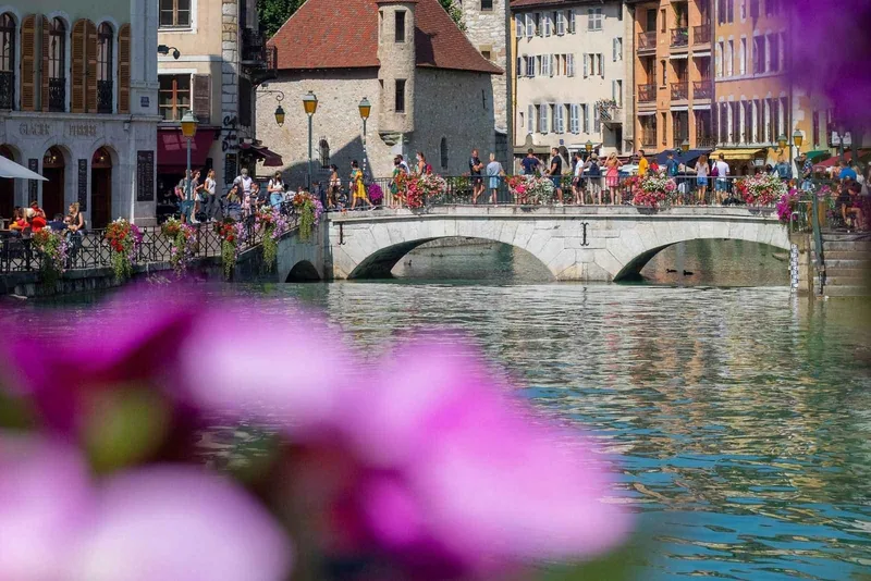 Private guide
Annecy: Two-Hour Insider Walking Tour with a Local Guide
 Self-guided
Annecy: Historical City Game – The Shadow of the Sword
Can’t make these dates?
Browse more tours and activities in Annecy and find one that fits your schedule — all with instant confirmation and free cancellation.
Frequently asked questions
How big is Annecy Old Town?
About half a kilometre across. It is entirely pedestrianised and nothing within it is more than roughly fifteen minutes on foot from anything else.
How far is Annecy station from the Old Town?
About ten minutes on foot, flat the whole way. You do not need transport between the two.
Where do the boats leave from in Annecy?
From 2 place aux Bois, at the lake end of the canals, a couple of minutes from the Pont des Amours and the Jardins de l’Europe.
Can you drive in Annecy Old Town?
No, it is pedestrianised. Park at Bonlieu, Hôtel de Ville or another car park on the ring and walk in — a few minutes in each case.
What is the walk up to the Basilique de la Visitation like?
A real climb of around twenty-five minutes from the canals, and the only uphill on this map apart from the five minutes to the château. The view over the town and lake is the payoff.